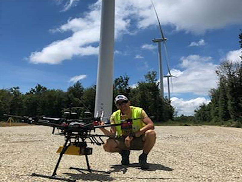
Levé topographique par LiDAR aéroporté par drone sur un projet éolien (74 hectares)
24 août 2020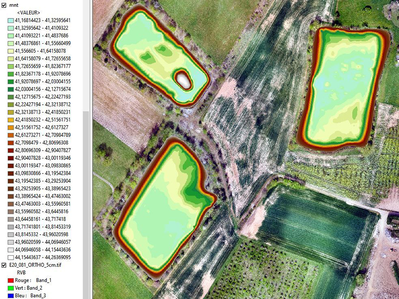
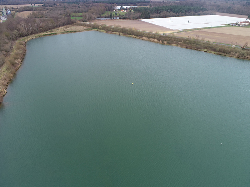
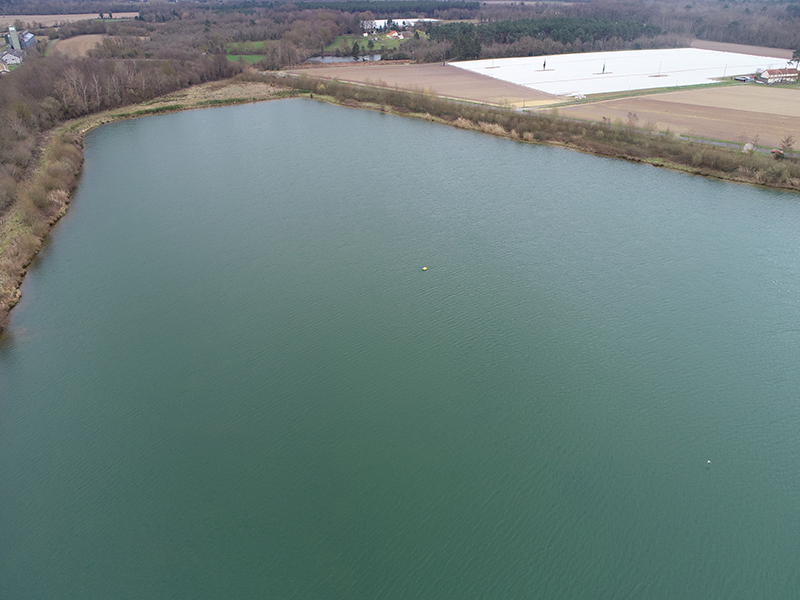
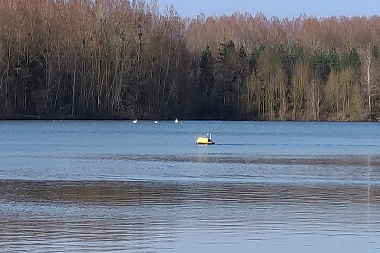
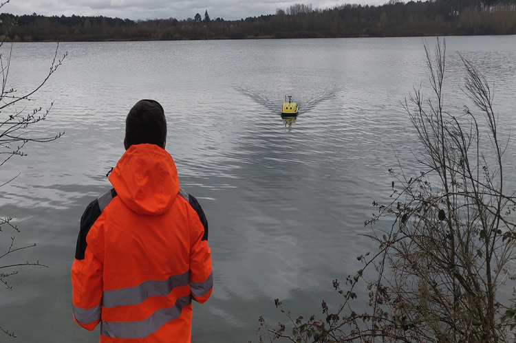
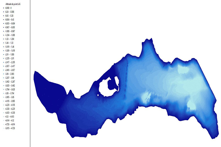
Levé topographique par drone bathymétrique (5 hectares)
28 mai 2021Levé topographique par LiDAR aéroporté par drone sur un projet éolien (74 hectares)
24 août 2020Levé topographique par drone bathymétrique (5 hectares)
28 mai 2021